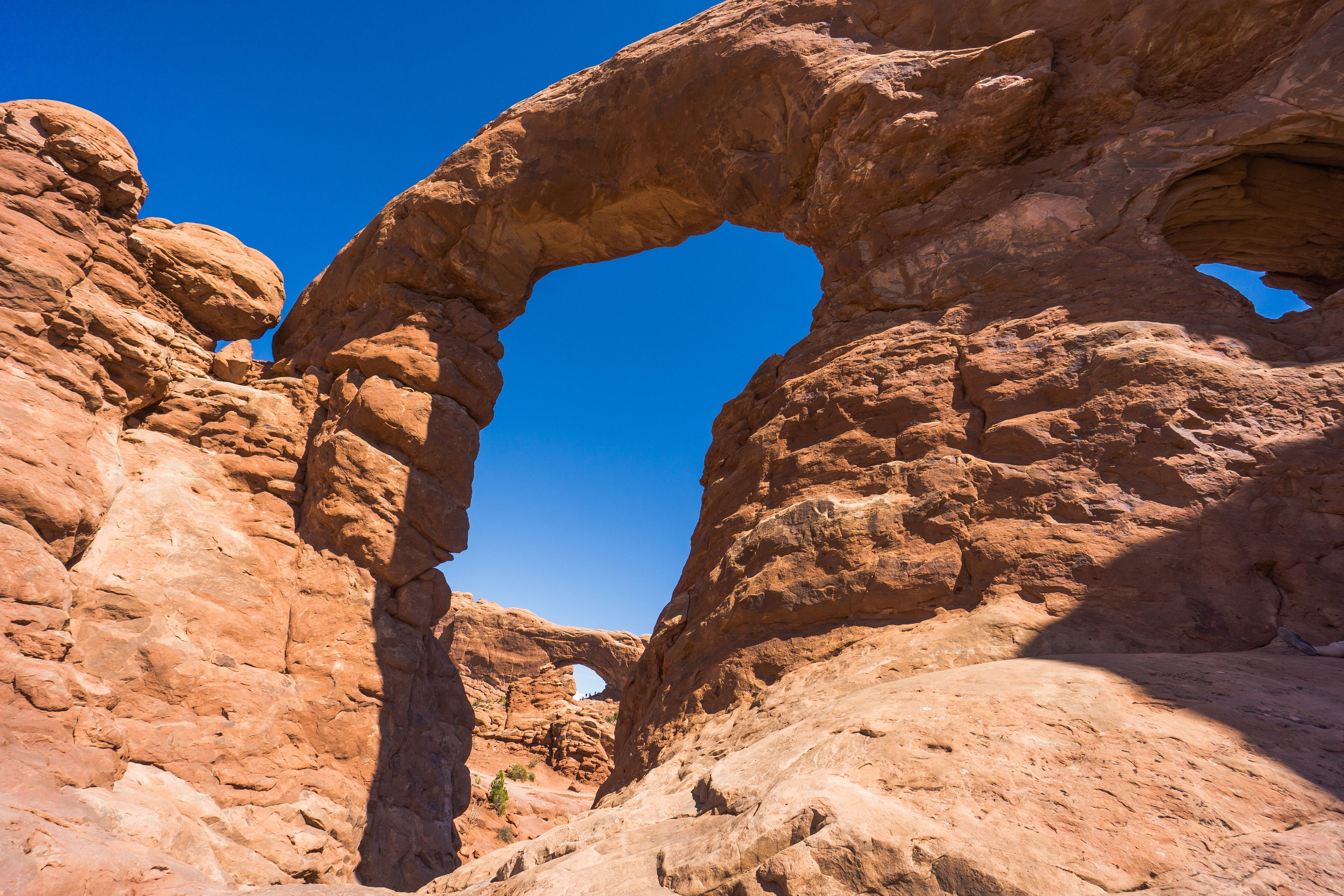
Arches National Park
Arches is a national park in the state of Utah, located near the town of Moab. It covers 309 km². It has more than 2000 natural arches, formed out of sandstone by wind and water. Long ago there was a sea where the park is now, and it left behind a salt bed. Today sedimentary rock lies on top of this salt bed, turned into stone under its own pressure.
How to get to Arches National Park
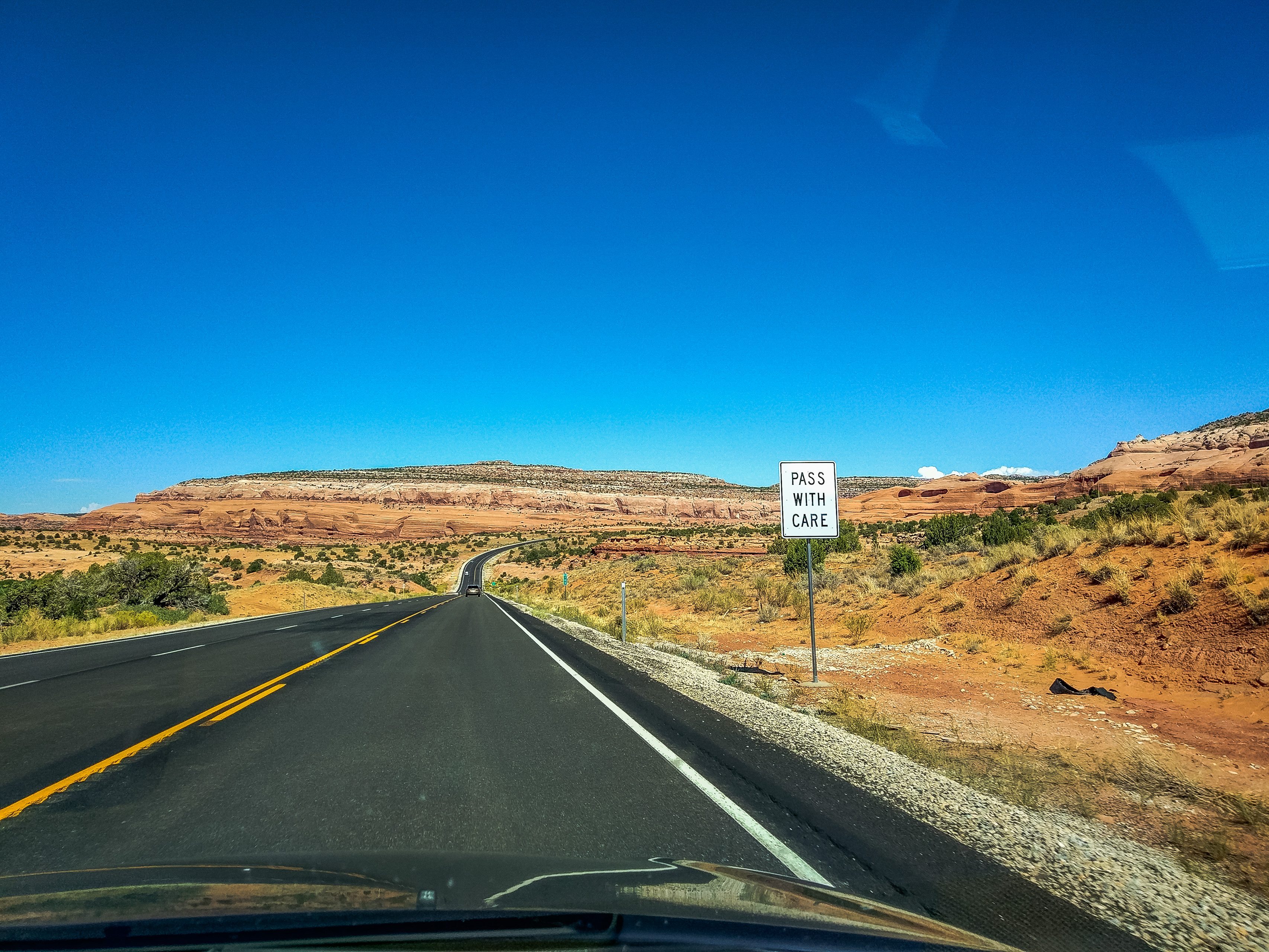
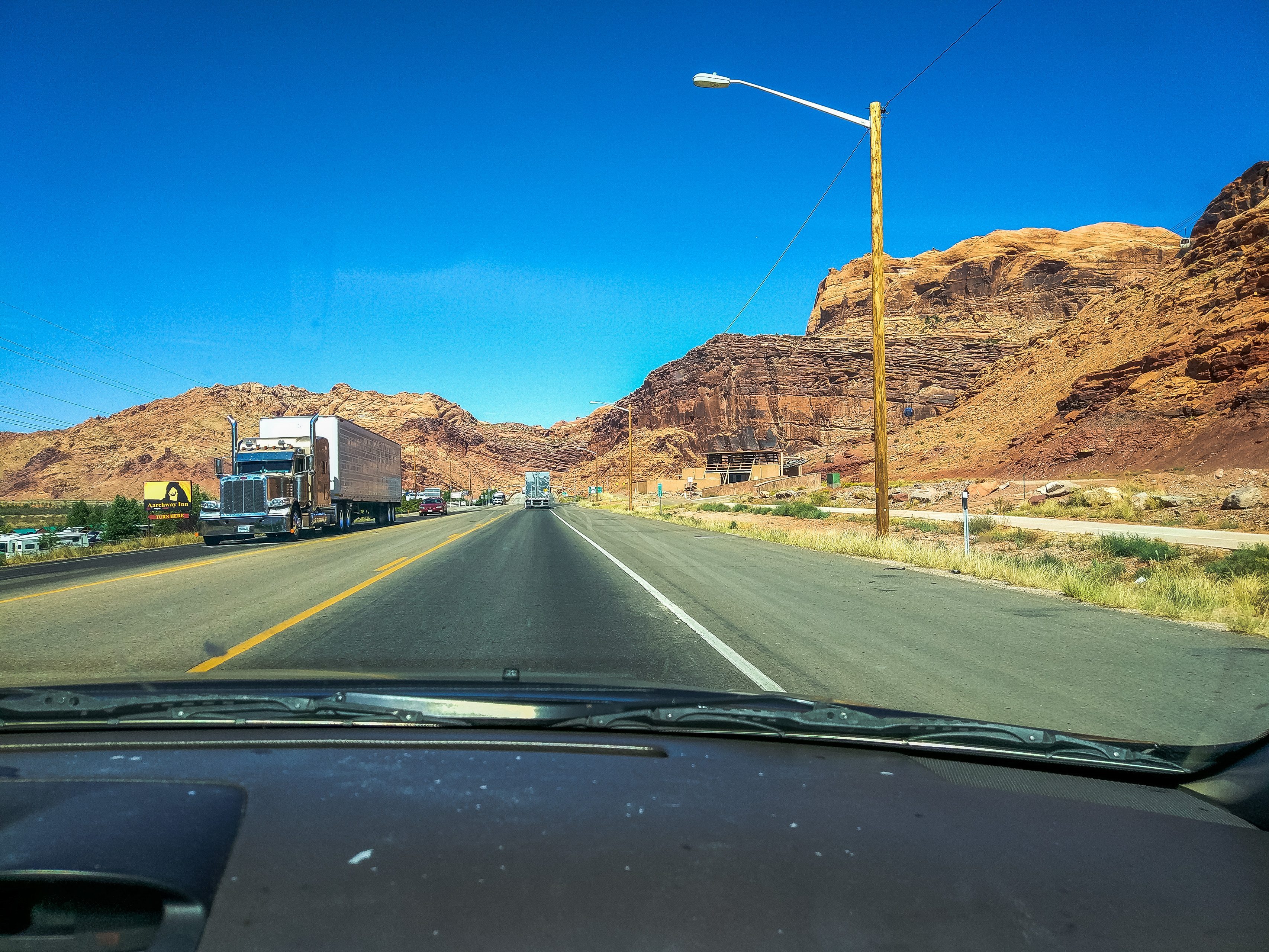
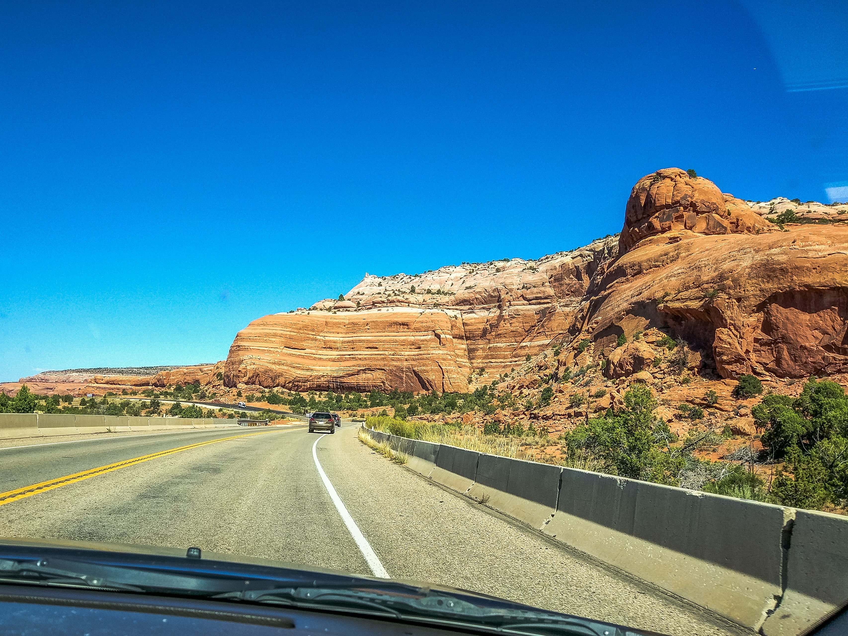
The entrance to Arches is 8 km north of the town of Moab, along Highway 191.
Arches National Park hours
Arches is open to visitors around the clock, all 365 days a year. However, in high season (March through October), because of heavy traffic, it is recommended to arrive before 8:00 or after 15:00.
As in any US national park, there is a visitor center here, which has a small museum, a screening room, a gift shop, and a bookstore. Here you can also pick up a guidebook and a map of the park, ask the rangers about interesting places and trails in the park, and stock up on drinking water.
The hours of the information center (visitor center) depend on the season: for 2026, from June through October it is open from 7:30 to 18:00, and from December through February from 9:00 to 16:30. Restrooms and drinking water are available around the clock. The park is open 24 hours, 7 days a week, but the hours may change, for example because of road work. During our visit, all the park roads closed to visitors at 19:00 because of road repairs. You can find up-to-date information on all changes on the official website of Arches National Park.
Arches entrance fees
7-day passes (2026 prices):
Per vehicle (and up to 15 passengers) — 30 dollars
Per motorcycle — $25
Per cyclist or hiker — $15
Annual passes (2026 prices):
Local (valid at Arches and Canyonlands national parks and at Natural Bridges and Hovenweep national monuments, for US citizens and residents only) — 55 dollars
General, valid at all US national parks (America the Beautiful) — $80 for US citizens and residents, $250 for everyone else
Children under 15 — free
Seasons
High season at Arches runs from March to October, so that is when there are the most visitors. In summer the air temperature often reaches 37°, so long hikes are best planned for early morning. This is especially true of the most famous arch in the world, Delicate Arch, since the only way to get to it is on foot, by walking 5 km.
In the winter months it is low season in the park: there are no crowds, and the air temperature ranges from -1° to 10°.
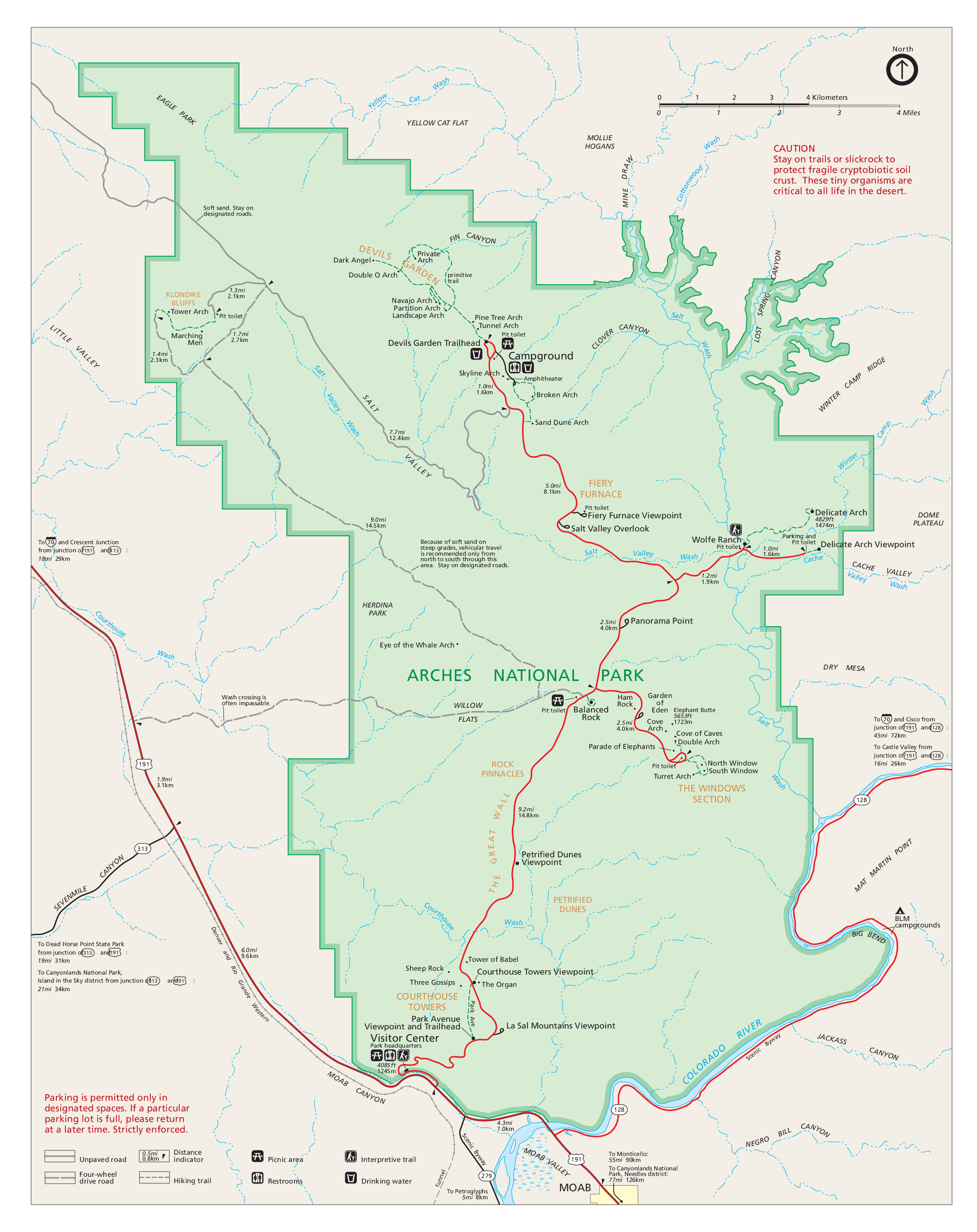
Arches National Park map
To prepare for a visit to Arches, it helps to look at the map in advance. The red lines are the park's main road (Arches Scenic Drive).
What to see
One main road, Arches Scenic Drive, runs through the whole park. It is only 28 km long, and from it you can turn off to viewpoints and to the trailheads of hikes into remote corners of the park.
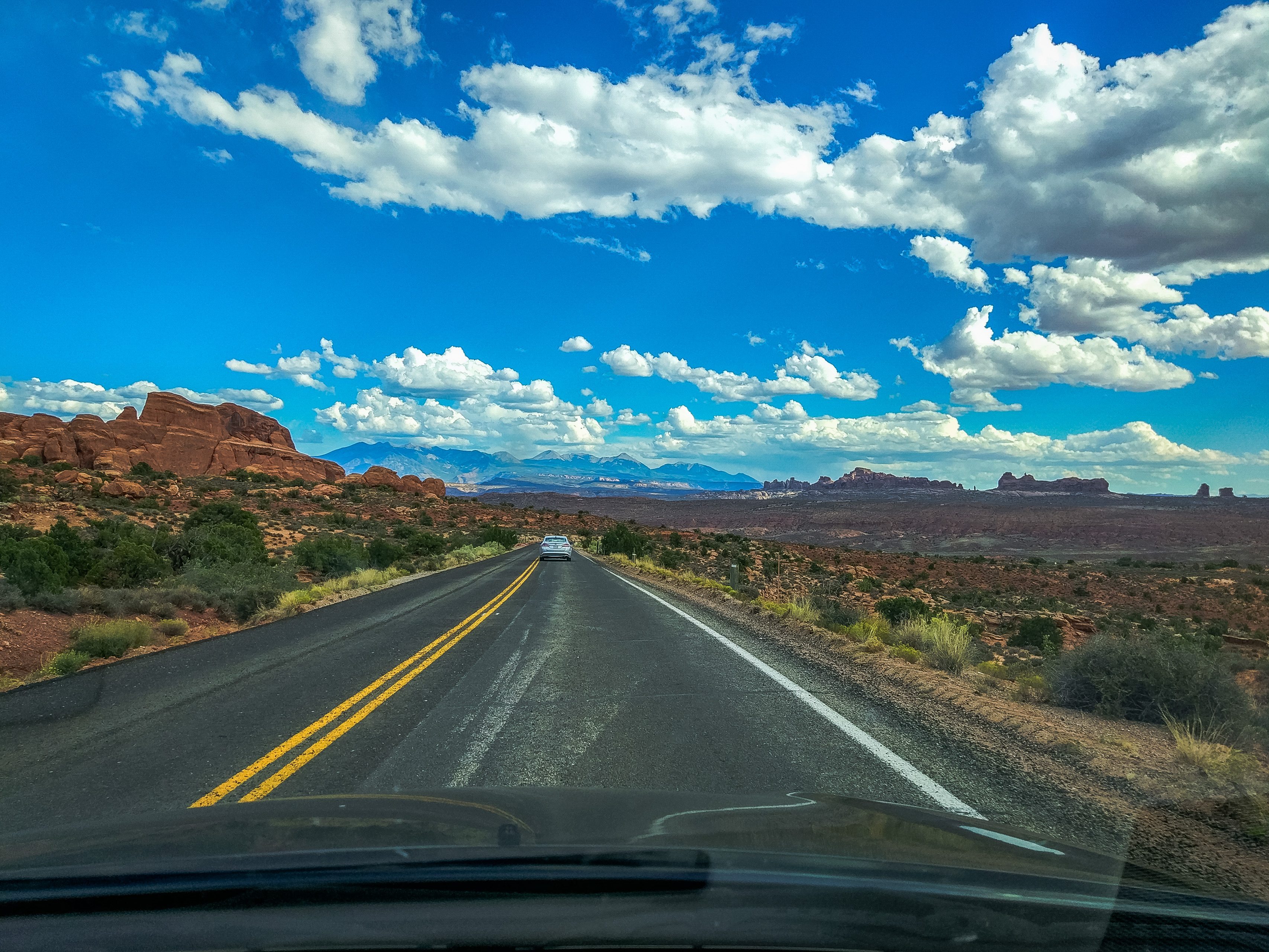
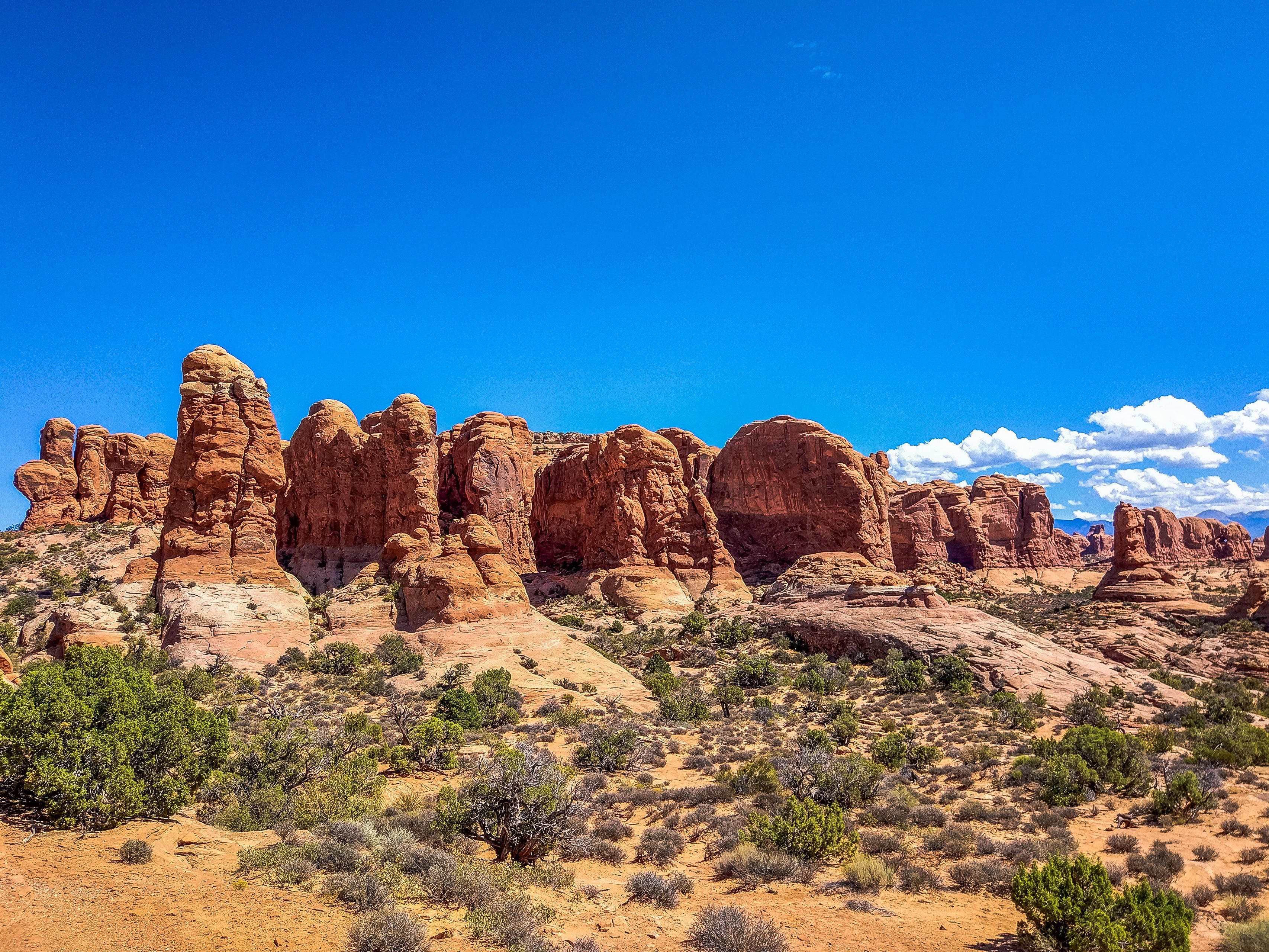
The first thing that catches your eye as you enter this park of arches is Courthouse Towers, a place with incredible rock formations. That rock in the center of the photo, which looks like three human figures, is called “Three Gossips.” And the one on the far right is “Tower of Babel.”
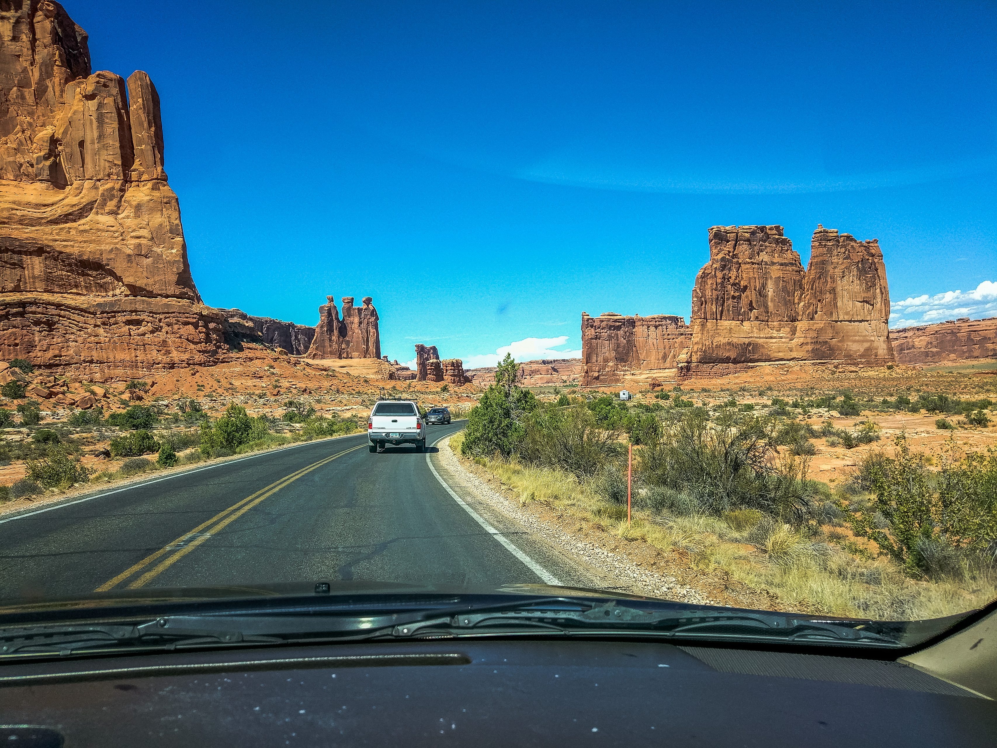
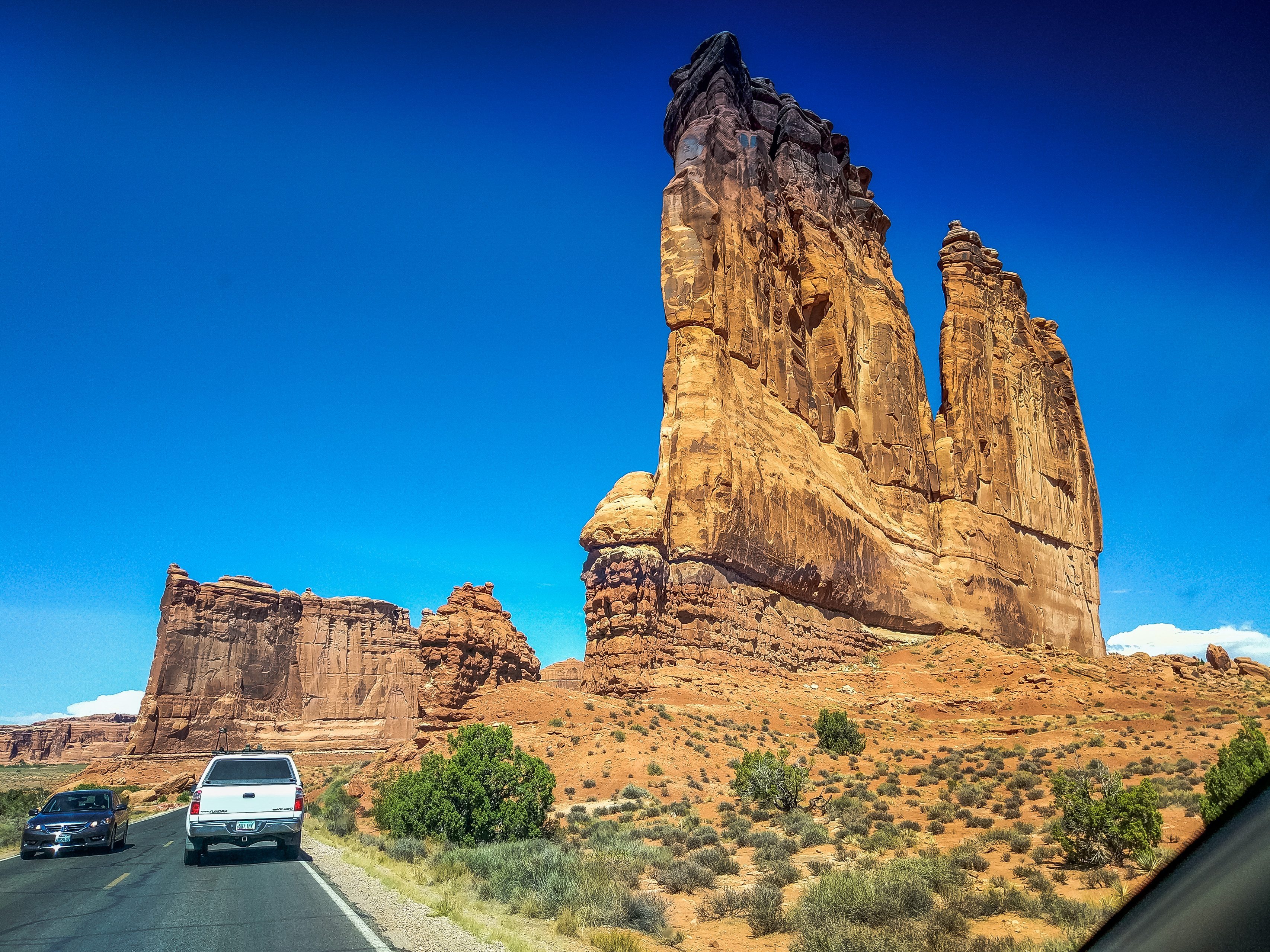
Another rock in Courthouse Towers is called “The Organ.” They can all be seen well from the road, so if you don't have much time, you can skip the trail around them.
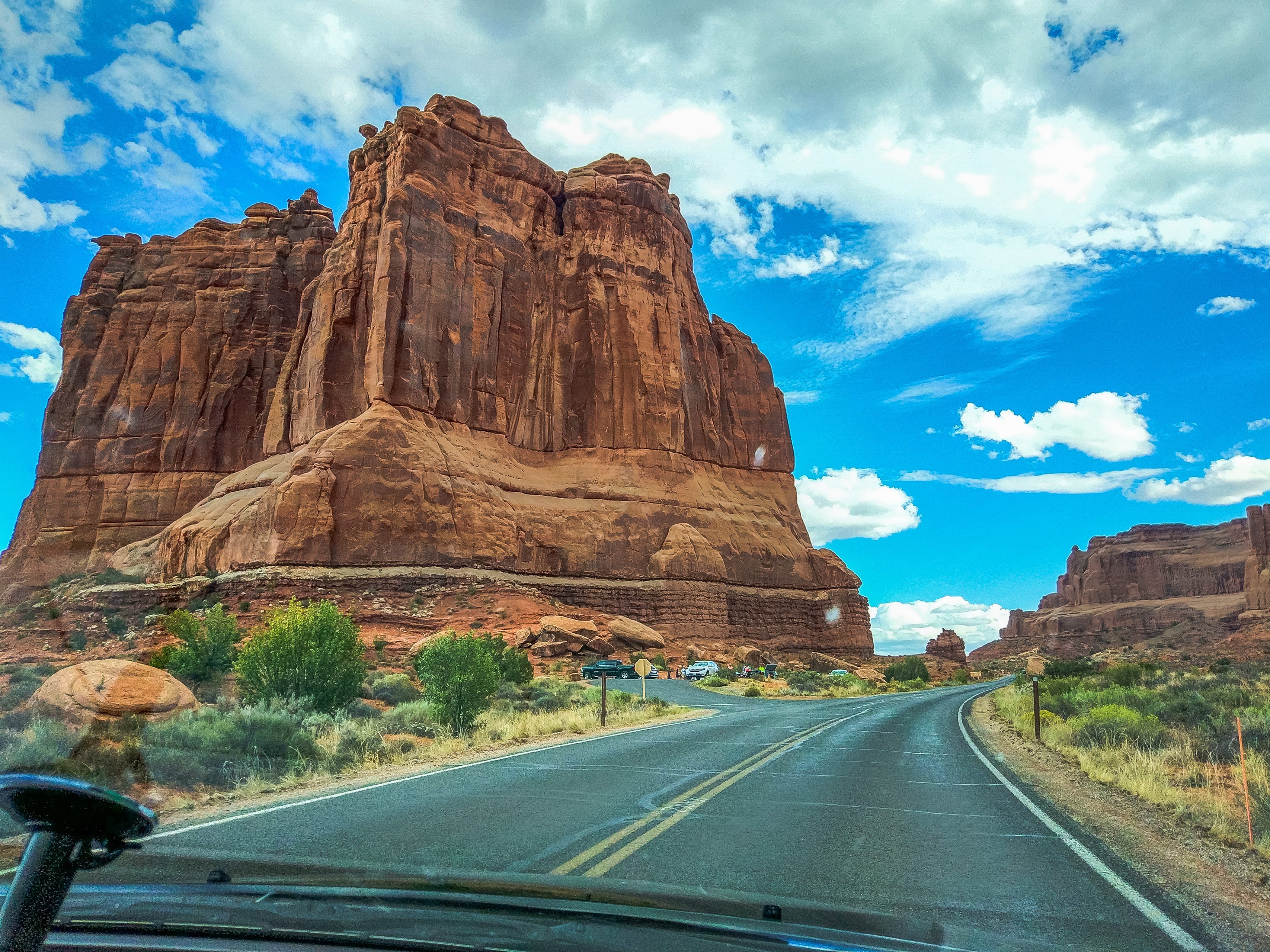
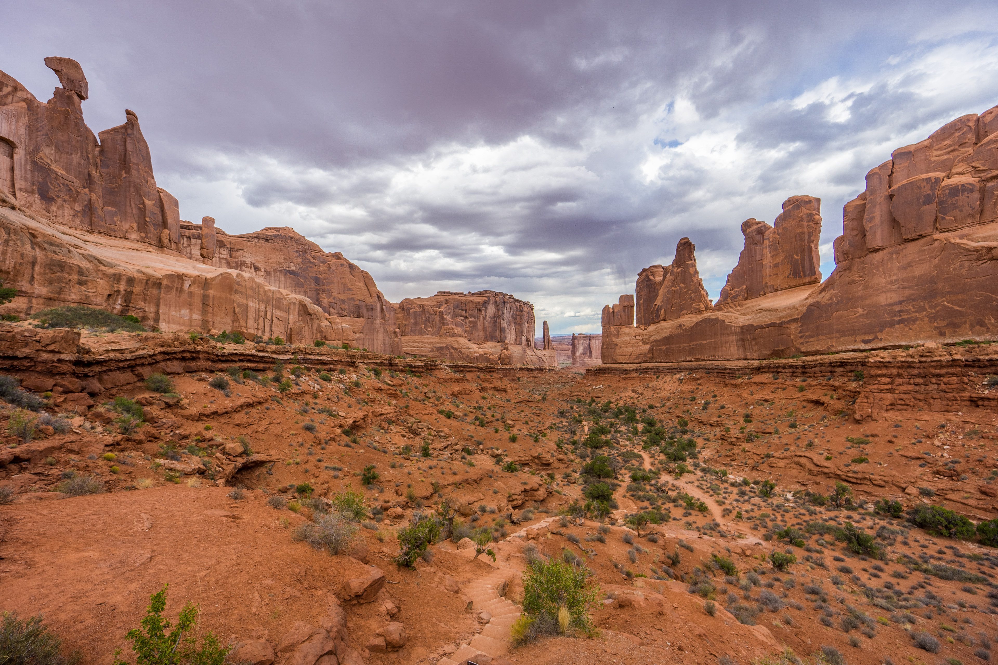
Park Avenue is a short scenic trail that runs through Courthouse Towers. It is the very first trail after you enter the park, but we visited it last, on the way back. Tired and still under the spell of the park's main sights, we didn't walk the trail itself and just admired the view of it from above.
The Windows (Windows Trailhead). This is a fairly easy short trail that leads to the South Window and the North Window, beautiful, impressive arches. There are usually lots of people here, but you can walk around the arches and enjoy a secluded walk. As a rule, few people take the trail around the arches.
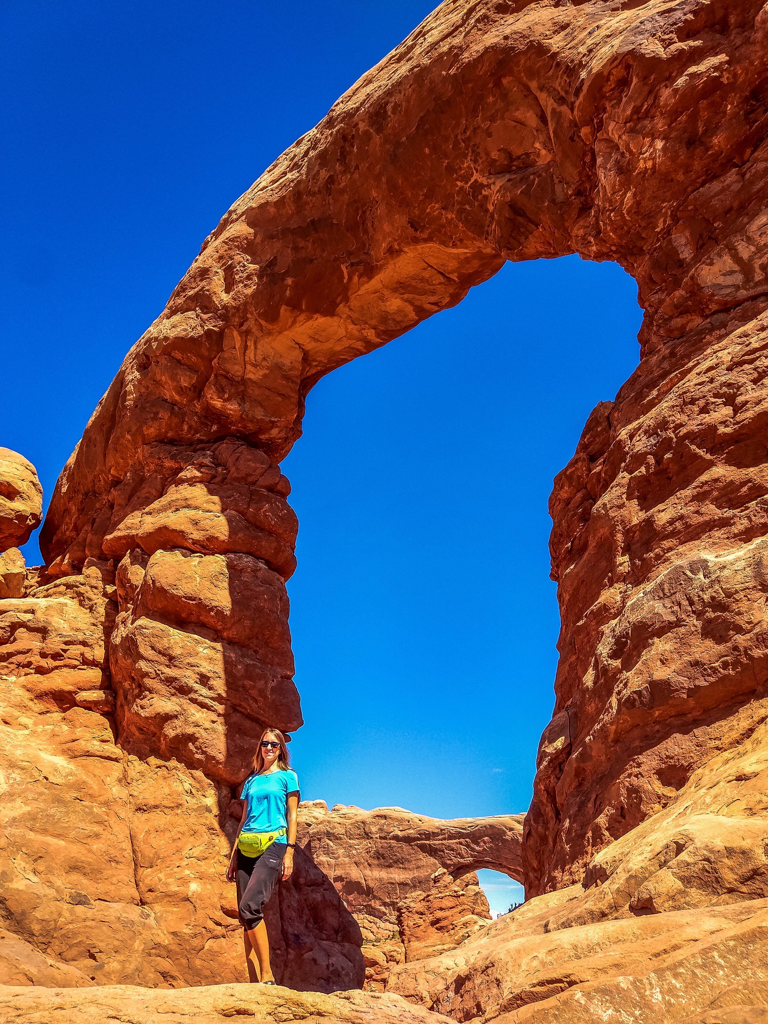
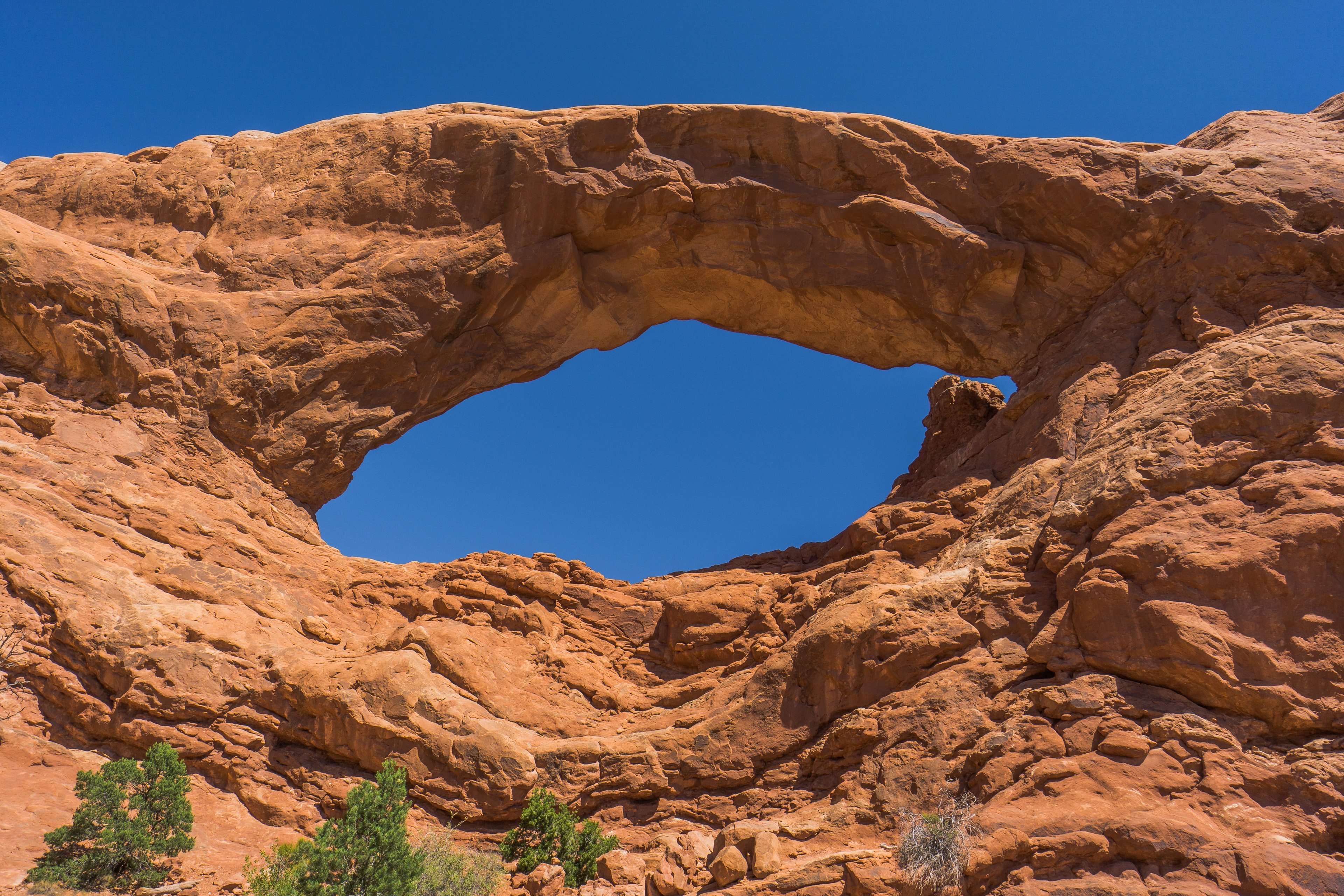
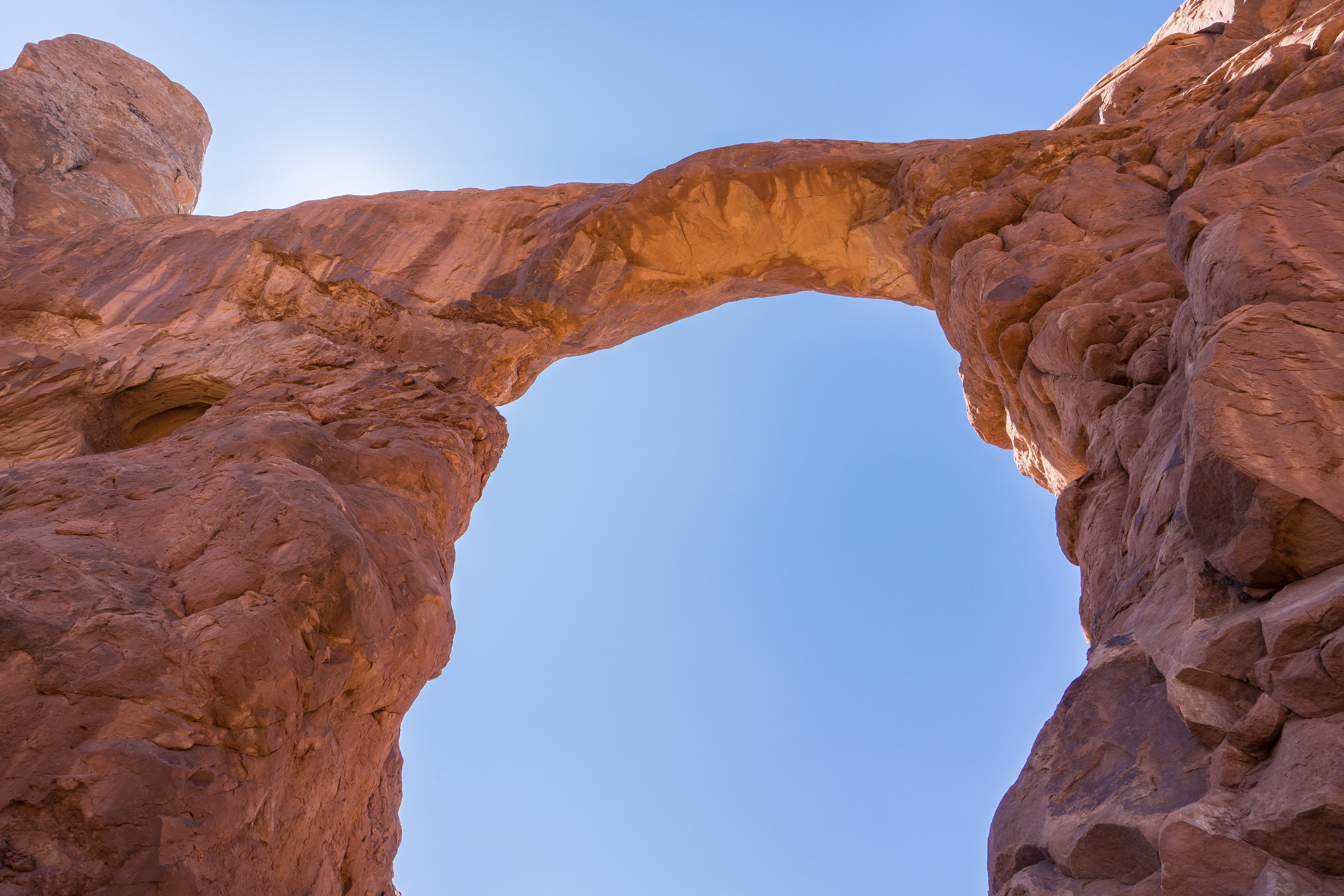
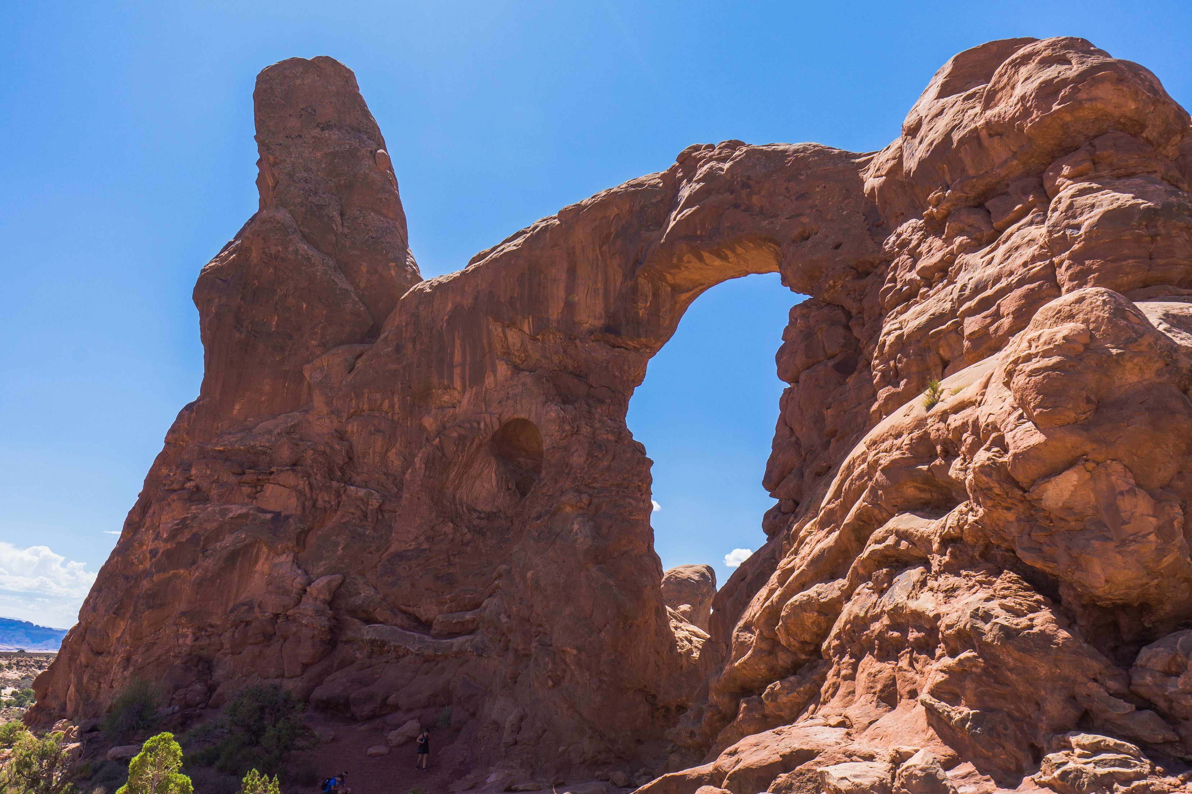
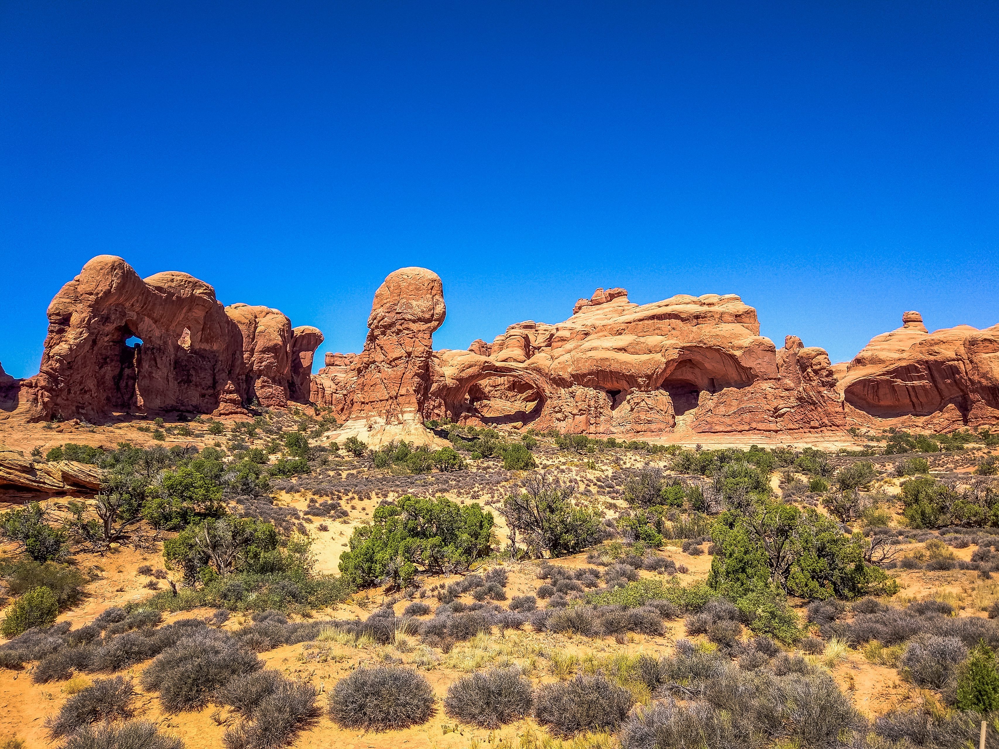
And across the road from the trailhead to The Windows arches (Windows Trailhead) begins the trail to Double Arch (Double Arch Trailhead).
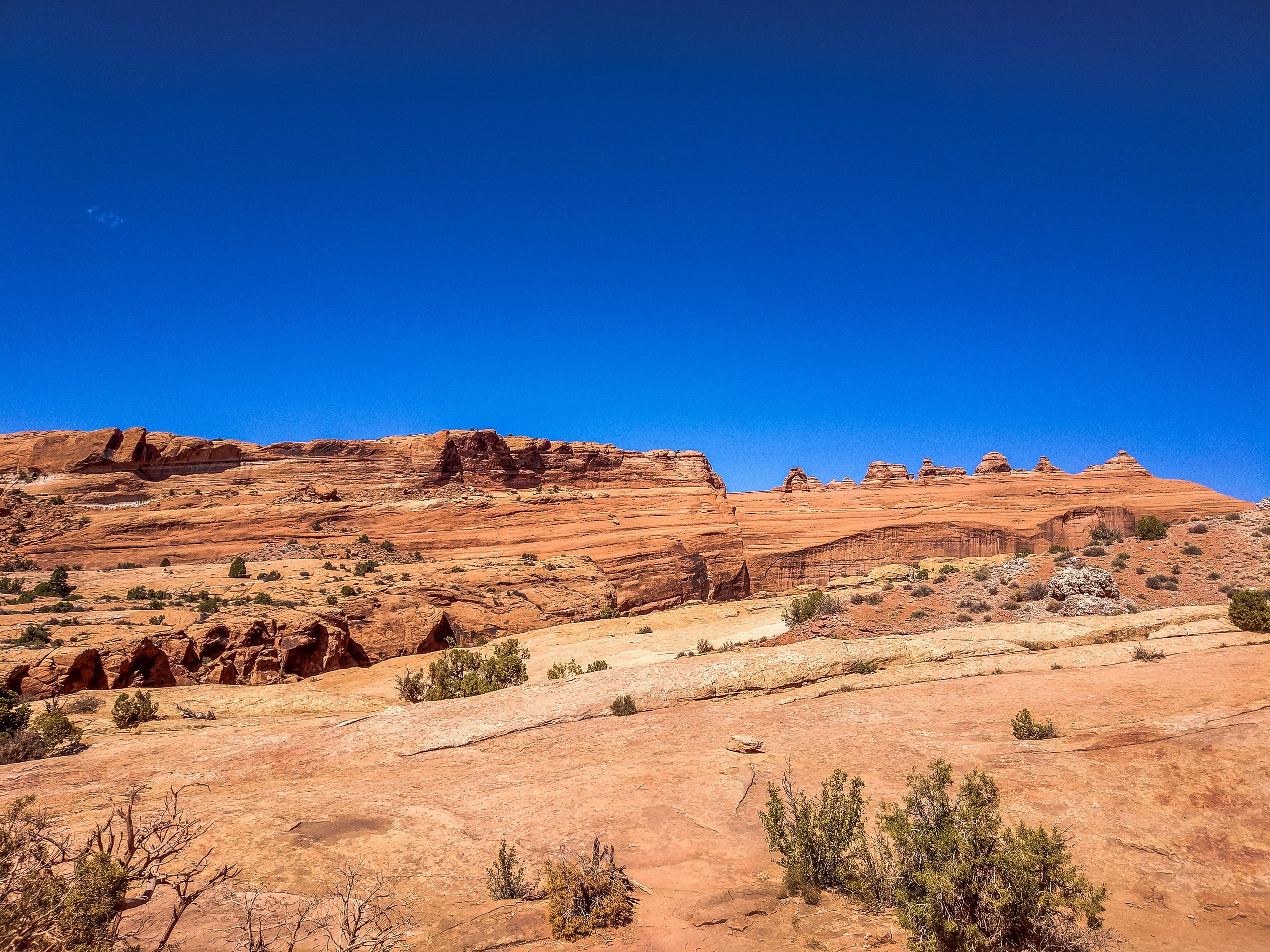
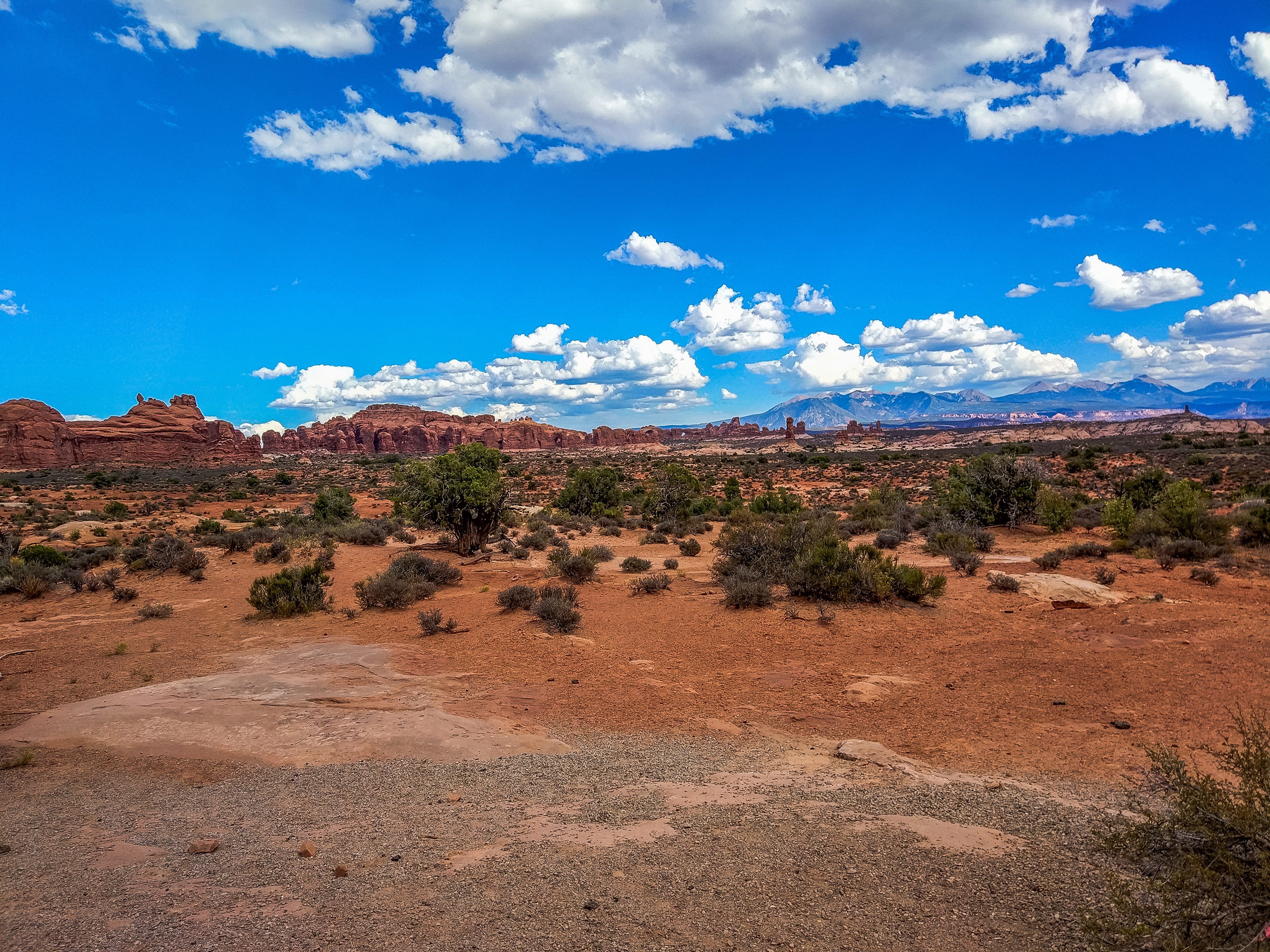
The world-famous arch is Delicate Arch. It's over there in the distance on the right, closer to the center. Of course, we could have walked right up to it, but we would have had to hike 5 km in the heat under the scorching sun. So if you want to get closer to it, set out early in the morning. Walking in that kind of heat with no chance to rest somewhere in the shade is quite an ordeal. We decided to admire it from afar.
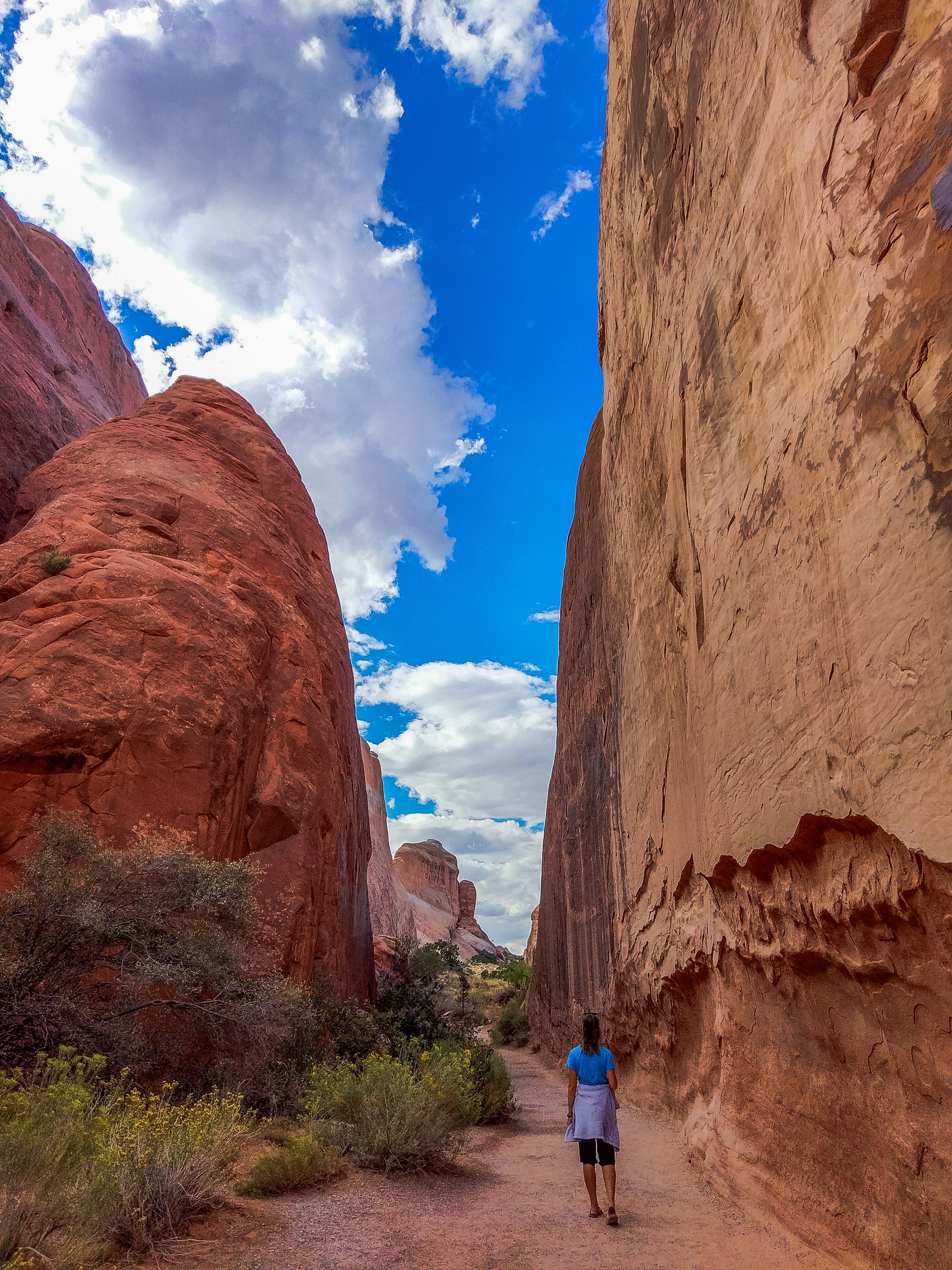
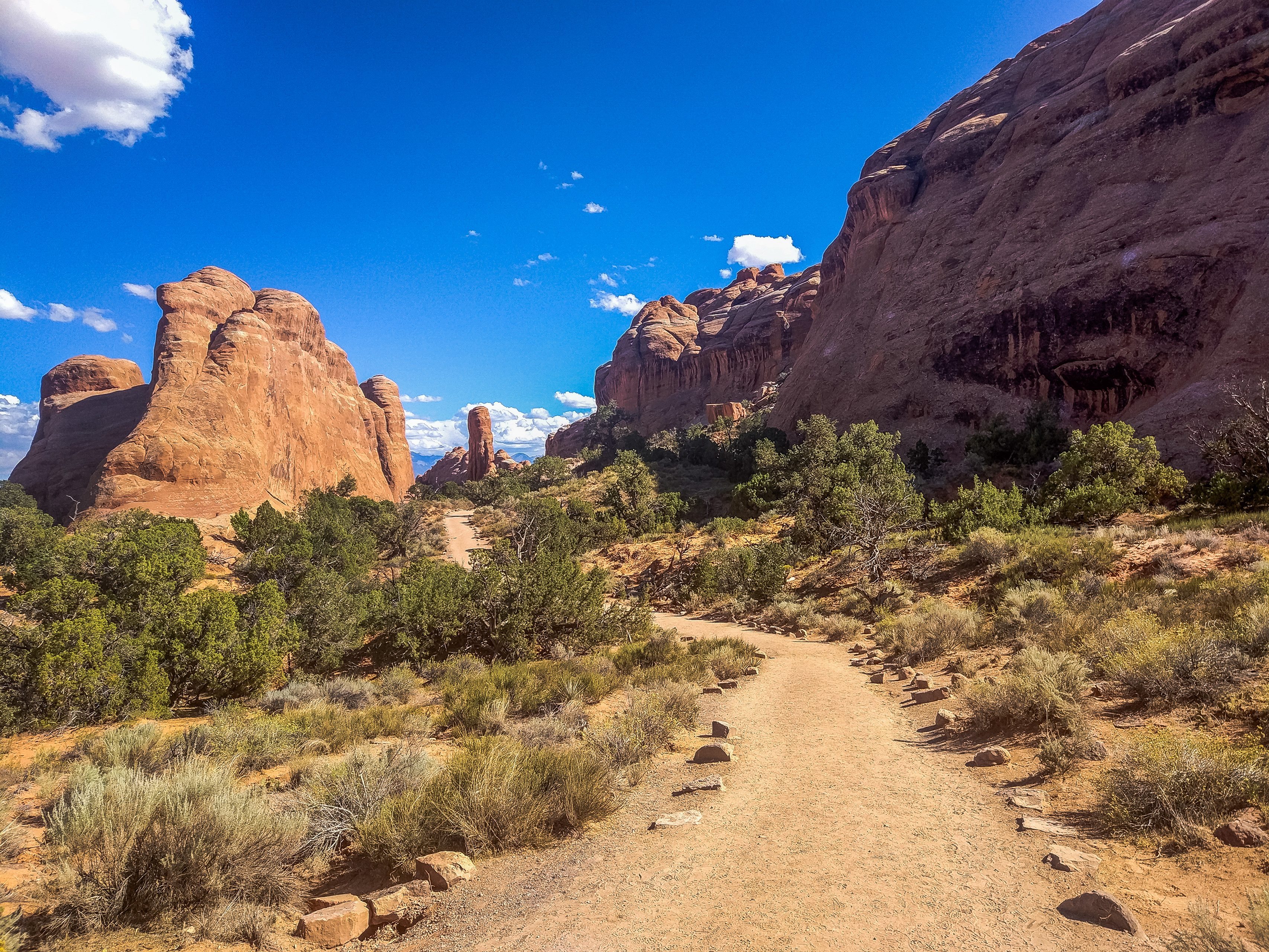
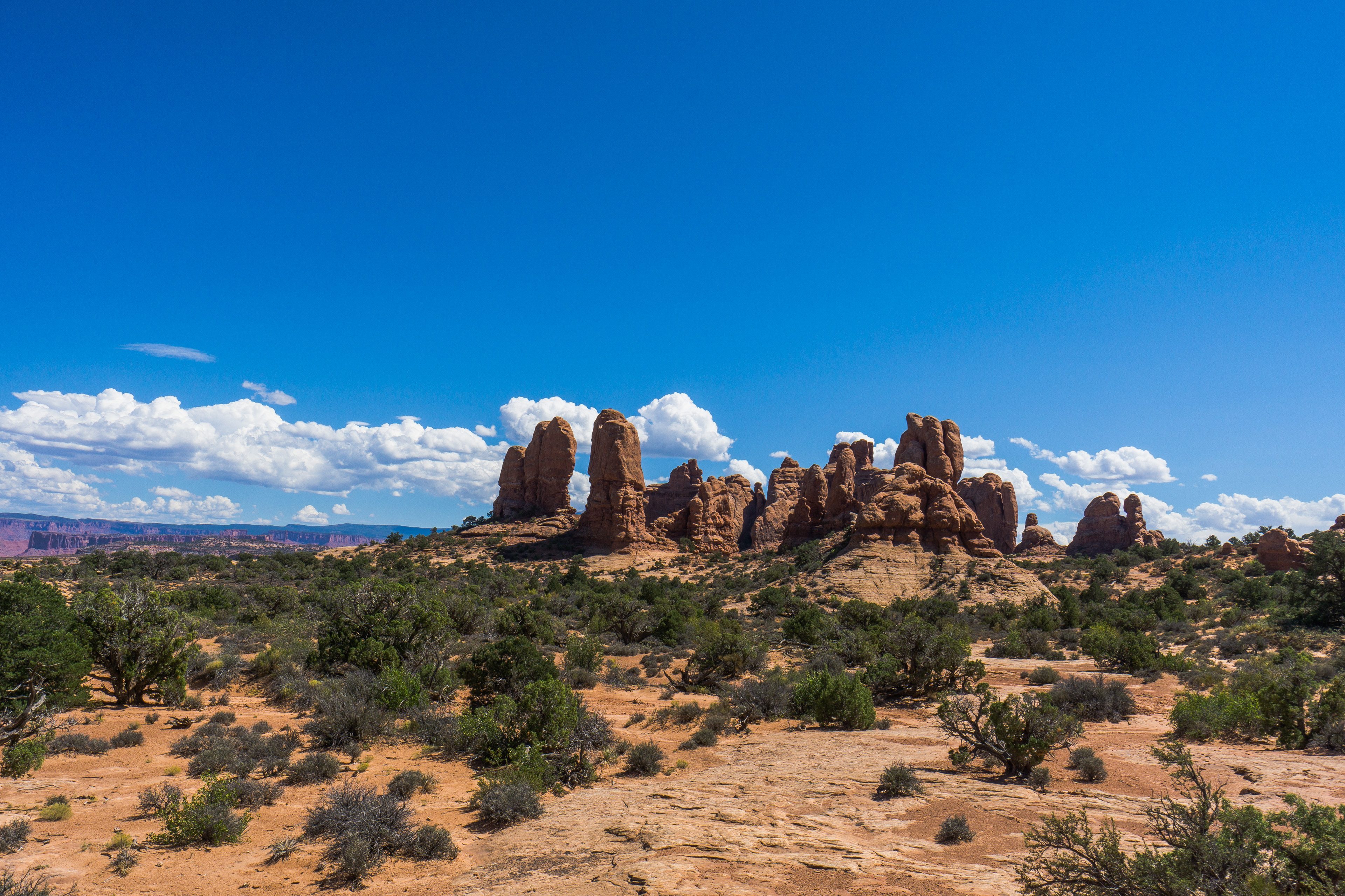
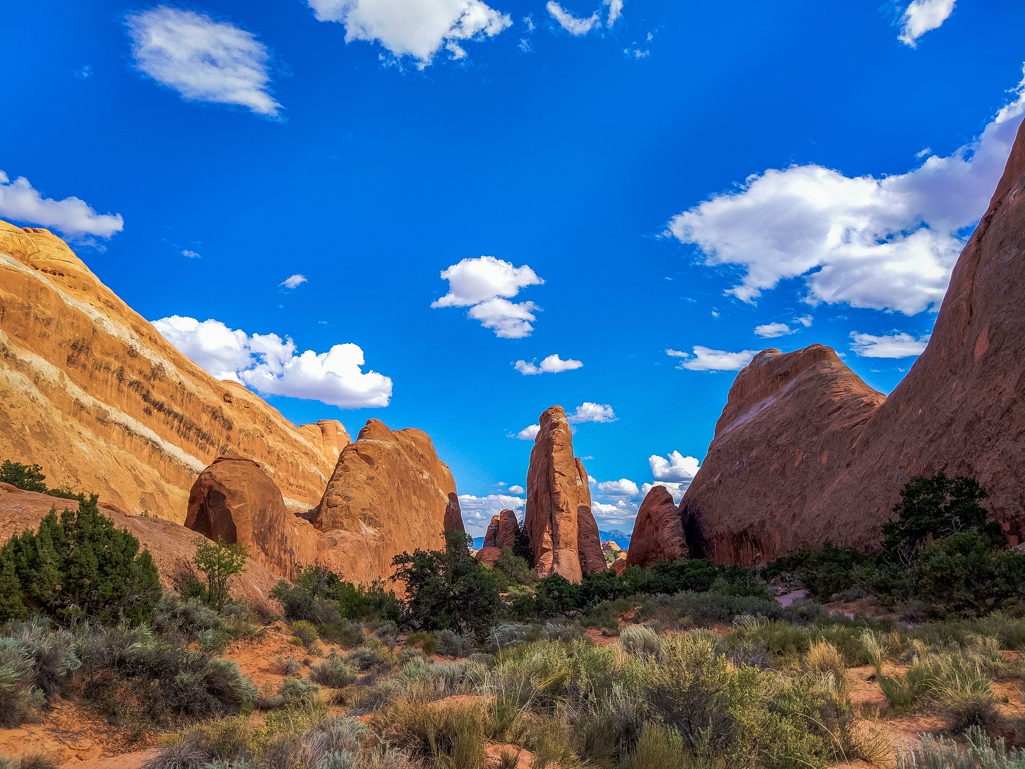
Devils Garden is at the very end of Arches Scenic Drive, and there are a whole bunch of interesting places here that you can walk to. The Devils Garden trail itself is quite unusual, too: it runs through bizarre sandstone walls.
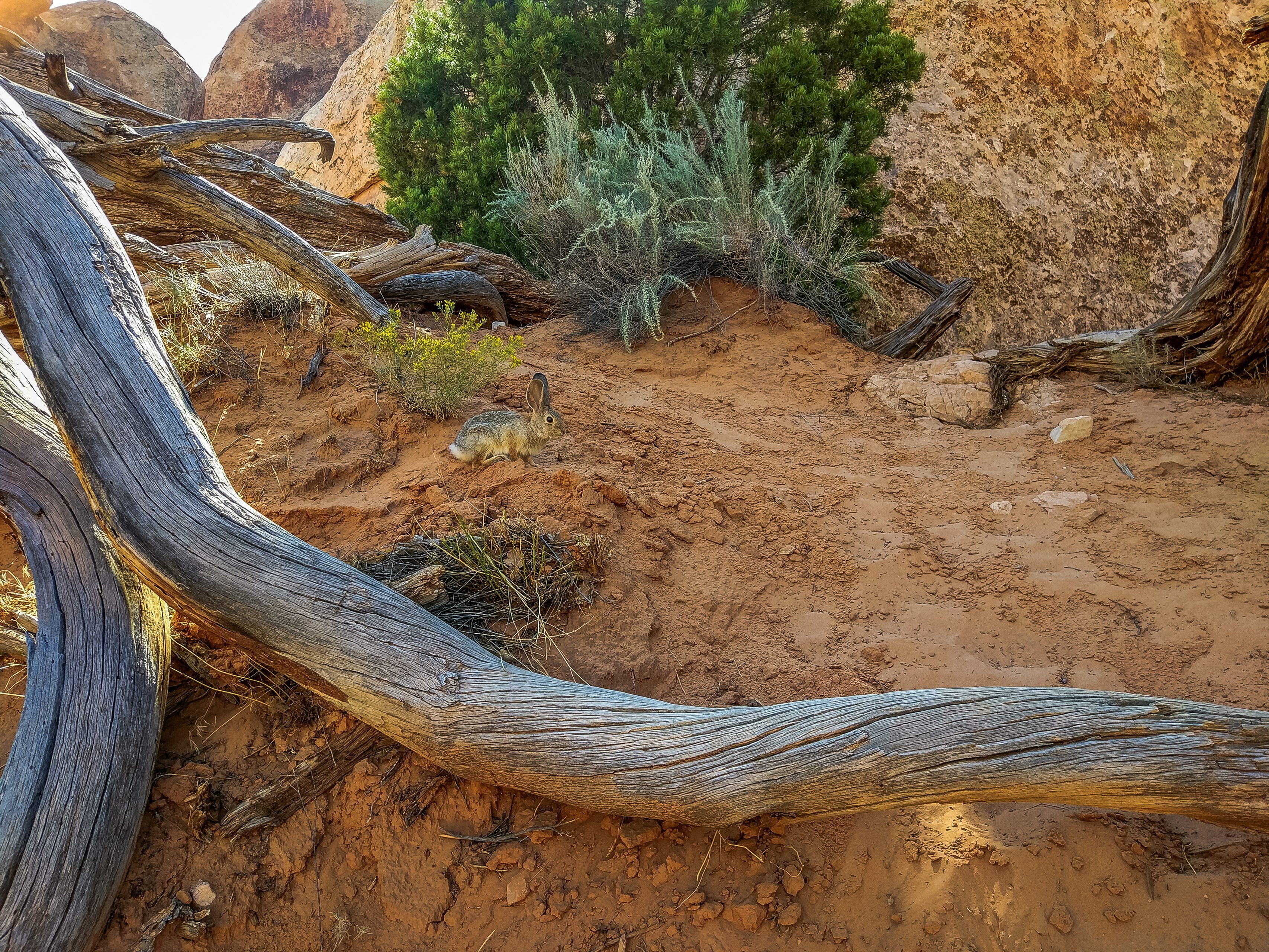
We met a rabbit here :)
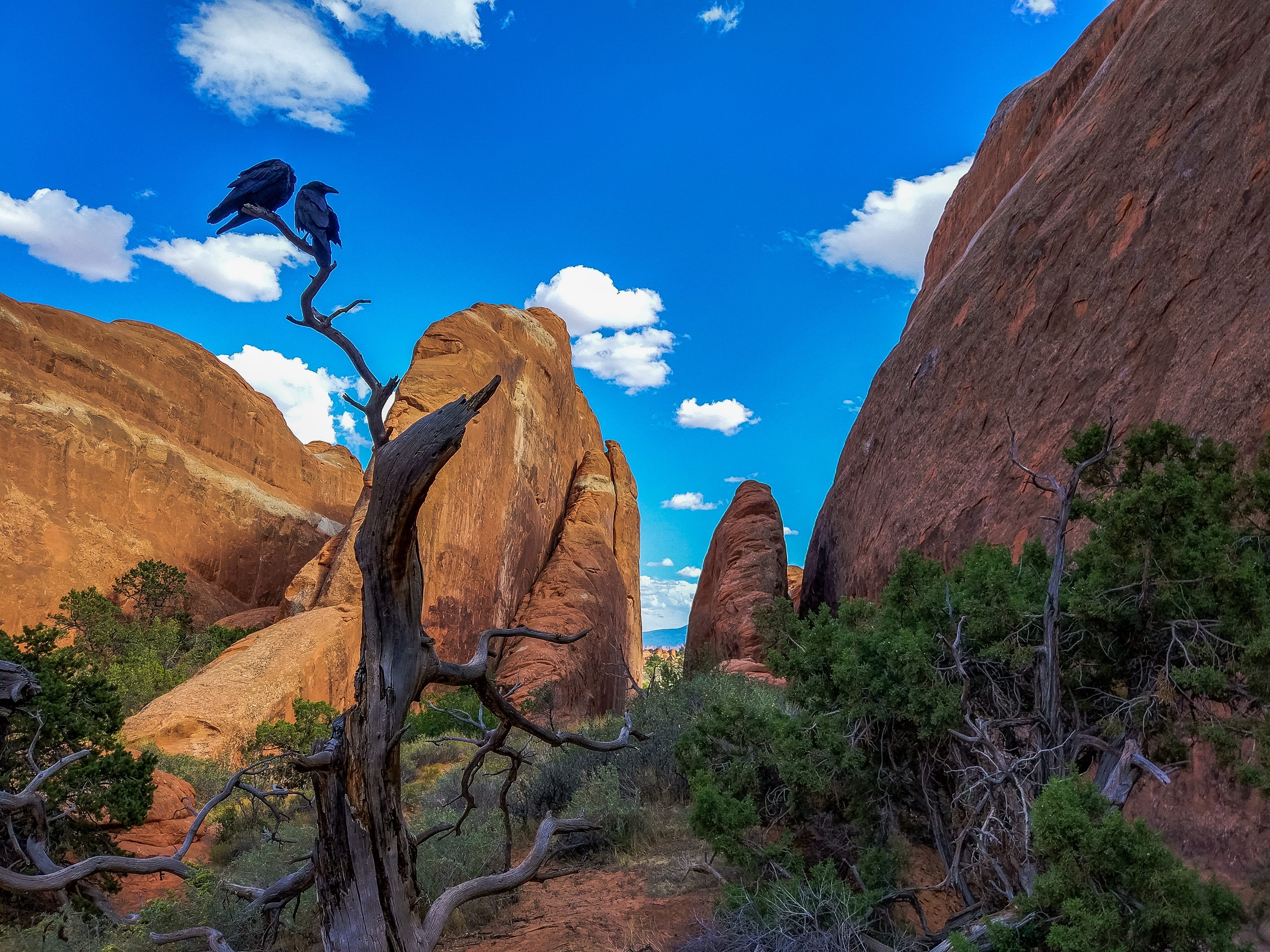
And two ravens sitting picturesquely on a branch.
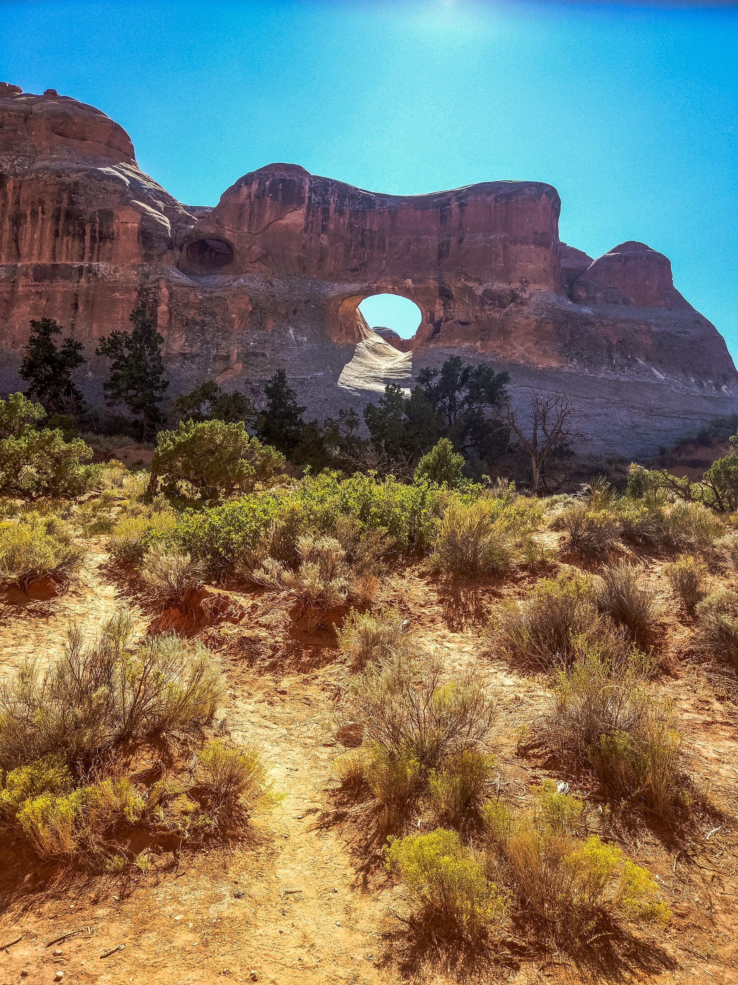
Tunnel Arch is a small arch set high up in a rock.
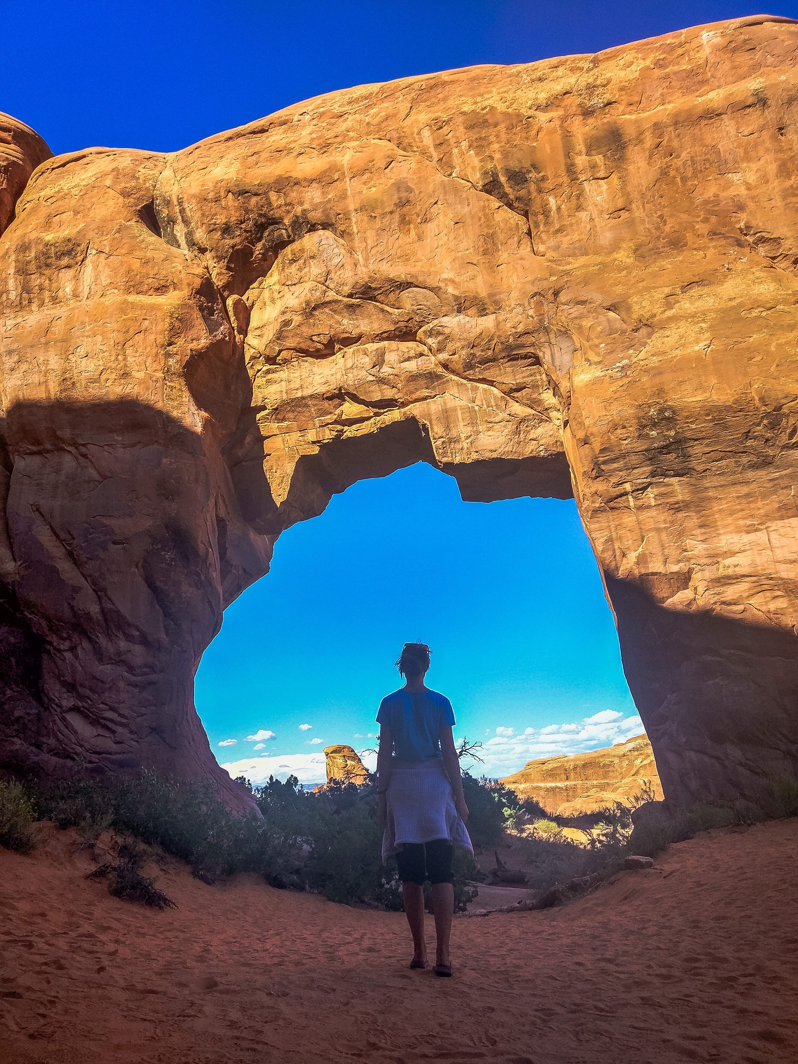
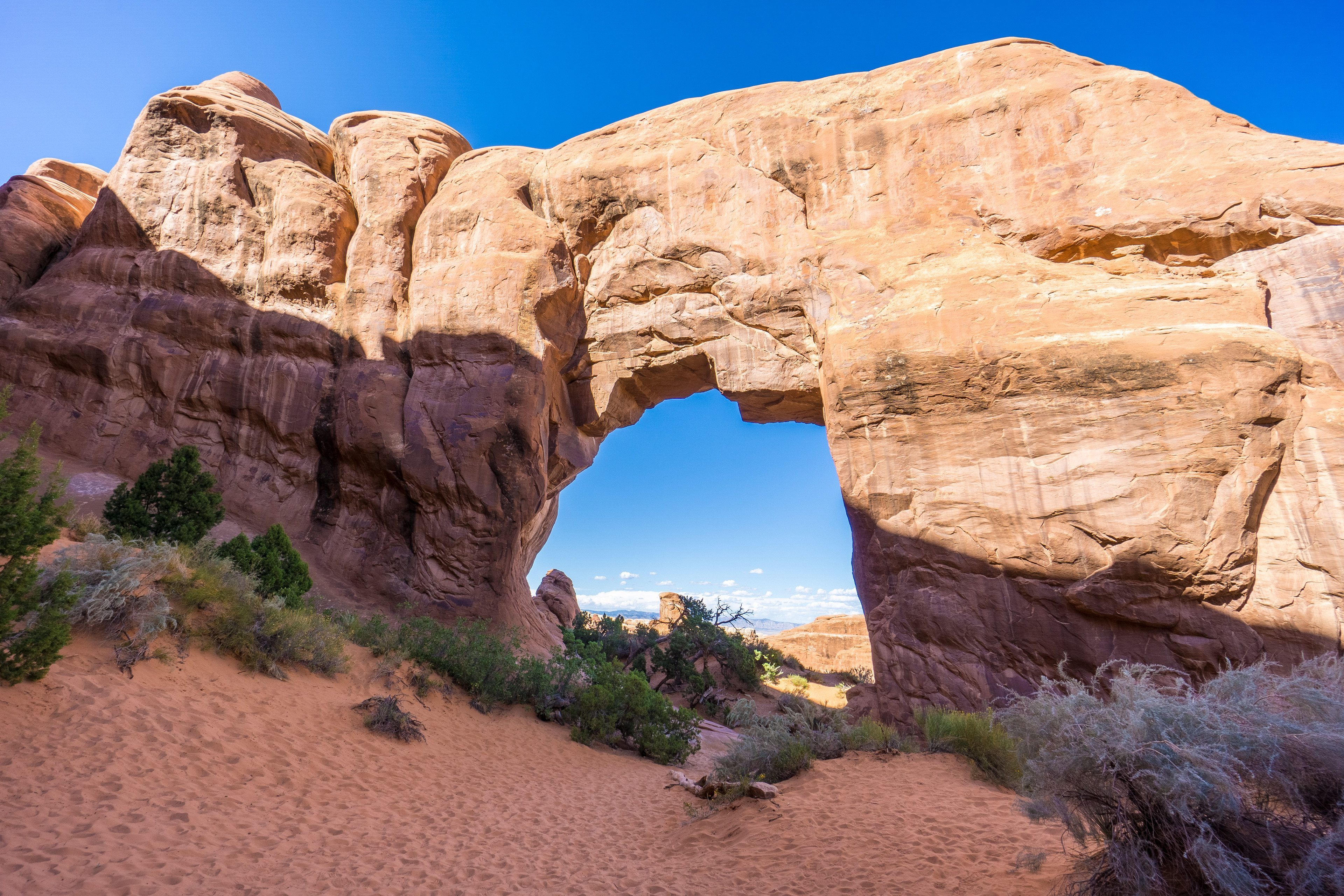
Pine Tree Arch is a very pretty arch surrounded by pine trees.
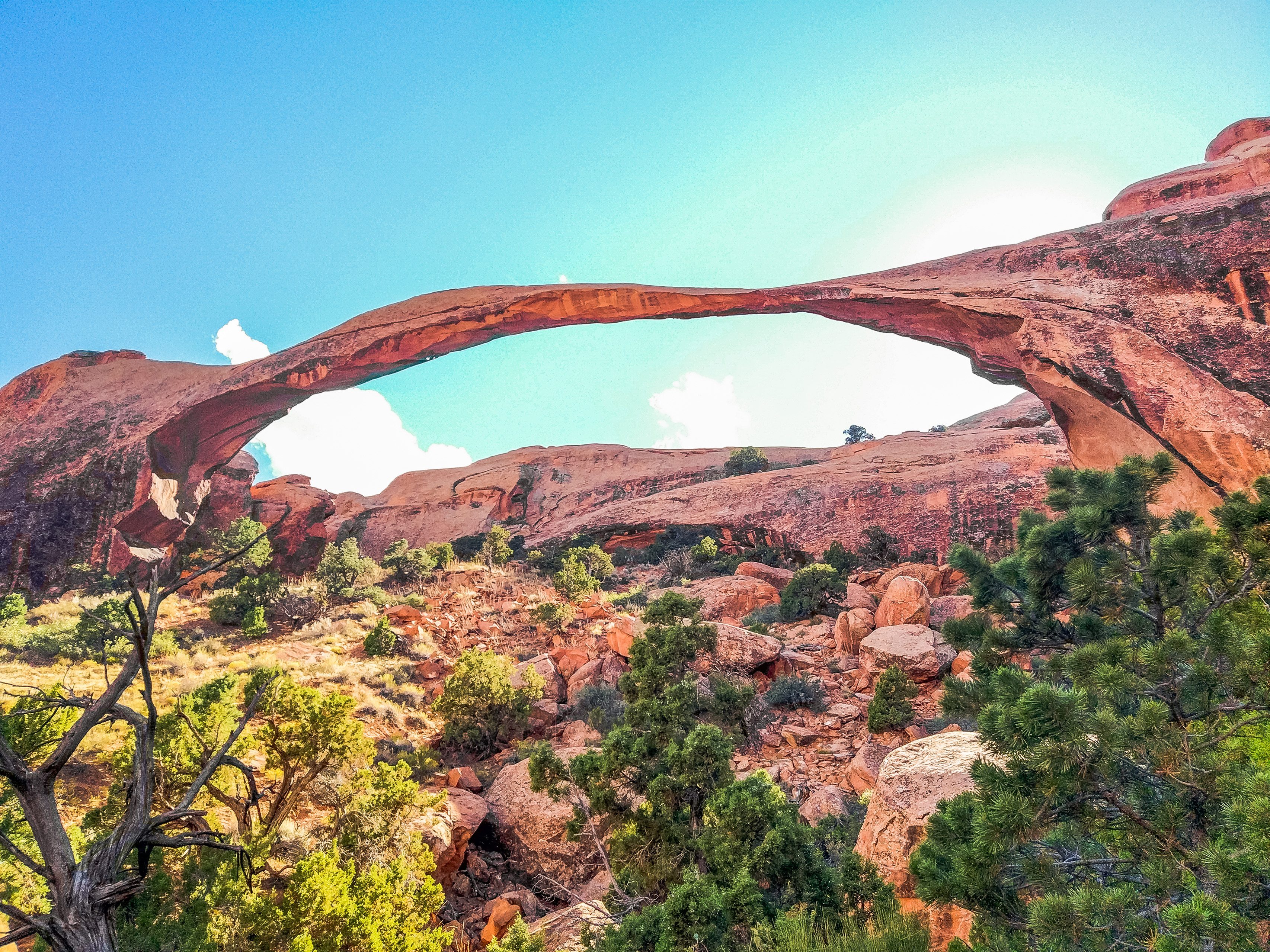
Landscape Arch is the longest and the thinnest. Its span is 93 meters. In 1991 a piece broke off it (in the left corner), and after that it became even thinner.
All in all, Arches is a really interesting place. All these arches and rock formations look very impressive and picturesque. The only thing that spoils the experience is the brutal heat. You could walk and walk among these unusual creations of nature, but because of the unbearable heat all you want is to get back to the car and the air conditioning as soon as possible. So we strongly recommend visiting the park either in the early morning or in the evening, closer to sunset, when the red arches turn fiery orange, which makes them even more impressive.
Where to stay
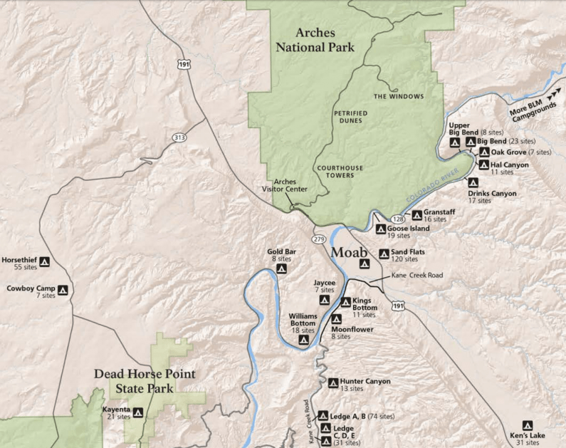
There aren't many places to spend the night in the park itself; to be exact, there is just one campground, in Devils Garden (Devils Garden Campground). A site there costs $25, but there may be no sites left because of the large number of visitors. You either have to book well in advance or arrive early to grab a free one.
Outside the park, you can also find lots of campgrounds along the Colorado River. A site at most of them costs $20 as of 2026. Here, too, there are sites set aside for reservations and ones that are first come, first served. Amenities at these campgrounds include restrooms, fire pits, and tables with benches.
For those who love comfort and can afford it, there are plenty of hotels in the nearest town, Moab. You can find and book a room here => Booking.com
And for those who love comfort but aren't ready to pay $60 for a hotel room, there are hostels here from $12 a bed. However, in high season cheap hotels and hostels can be full, so it's better to book them in advance.
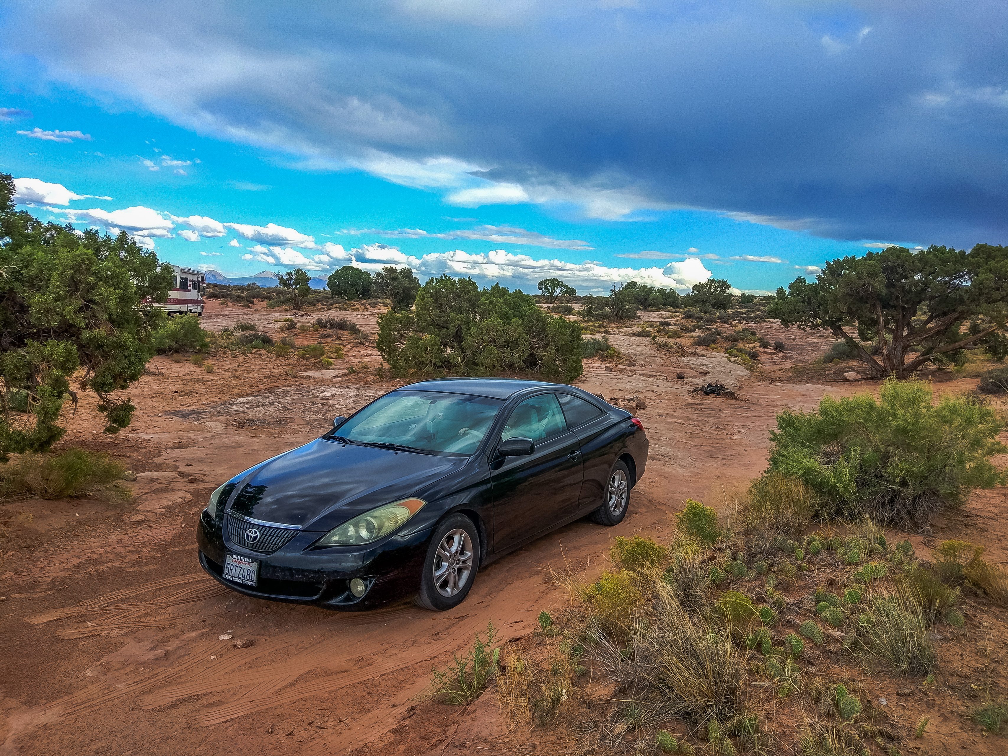
And the most budget-minded travelers, like us, can camp or just sleep in their car on BLM land (Bureau of Land Management Public Lands): places open to the public for free camping. The nearest such place is 5 minutes from the park. No amenities except spots for building a campfire.
Here is this place on the map:
Comments
Thank you! Your comment has been sent and will appear after moderation.